Easy access to a UAE trailhead does not make every route an easy walk. This guide compares five walking and hiking areas by the actual terrain, published route information and visitor arrangements. Our first filter is the group’s walking ability, followed by the chosen route and access plan. A flat mangrove boardwalk, an exposed mountain…
Easy access to a UAE trailhead does not make every route an easy walk. This guide compares five walking and hiking areas by the actual terrain, published route information and visitor arrangements. Our first filter is the group’s walking ability, followed by the chosen route and access plan. A flat mangrove boardwalk, an exposed mountain ascent and a longer rocky loop require different decisions.
For a shorter mountain walk, compare the named lower Jebel Jais routes: the operator lists Farfar at 0.7 km and Al Teen at 1.2 km. Samar is a longer 5.6–6.8 km loop with steep rocky sections. For a boardwalk format, choose Jubail’s actual visitor product. For Hatta, begin with the operator’s graded hiking map. We would settle the route before the drive, rather than arrive with only a broad place name and improvise a walk beyond the group’s preparation.
Use the actual starting point when calculating the journey. Visit Hatta describes Hatta as about 90 minutes from Dubai. Other journeys depend on the departure address, traffic and the authorised parking point. Plan the full trip around the chosen route, including walking time and the return, rather than assume every location is within an hour of every city.
Quick Comparison: 5 Easy-Access UAE Trails at a Glance
| Area | Emirate | Published route reference | Walking choice |
|---|---|---|---|
| Al Rabi | Sharjah | Approx. 4–5 km in Visit Sharjah’s guide | Mountain walking; use the actual route profile |
| Wadi Shawka | Ras Al Khaimah | Several routes around the dam and surrounding terrain | Choose a named route; dam visit and mountain hike differ |
| Lower Jebel Jais routes | Ras Al Khaimah | Farfar 0.7 km; Al Teen 1.2 km; Samar loop 5.6–6.8 km | Short routes and longer rocky loop are separate choices |
| Hatta hiking network | Dubai | 32.6 km across five routes in the operator’s guide | Choose the walking grade; it is not a vehicle-access rule |
| Jubail Mangrove Park | Abu Dhabi | Boardwalk product describes about 2 km and three trails | Managed boardwalk; choose the actual visitor product |
Distances and grades below come from the named tourism or operator pages. Use the current map and posted route instructions for the walk you select. A route length is different from a network’s total length, and altitude above sea level is not the same measurement as elevation gained during a hike.
Road Access and Walking Difficulty
Here, easy access means starting with an identifiable visitor approach, parking point or booking product. It does not promise safe surfaces, continuous signs or a route suitable for every child. Our recommendation is to separate three checks: how to reach the start, what the footpath involves and whether the group is prepared to complete that particular route.
Hatta’s operator publishes a 32.6 km hiking network across five routes and asks visitors to match its colour-coded grades to their physical ability. The total is the network, not a suggested single walk. Our pick for a first visit is a clearly identified route within the group’s ability, with its return and current access instructions settled before arrival.
Al Rabi Trail: Coastal Mountain Walking
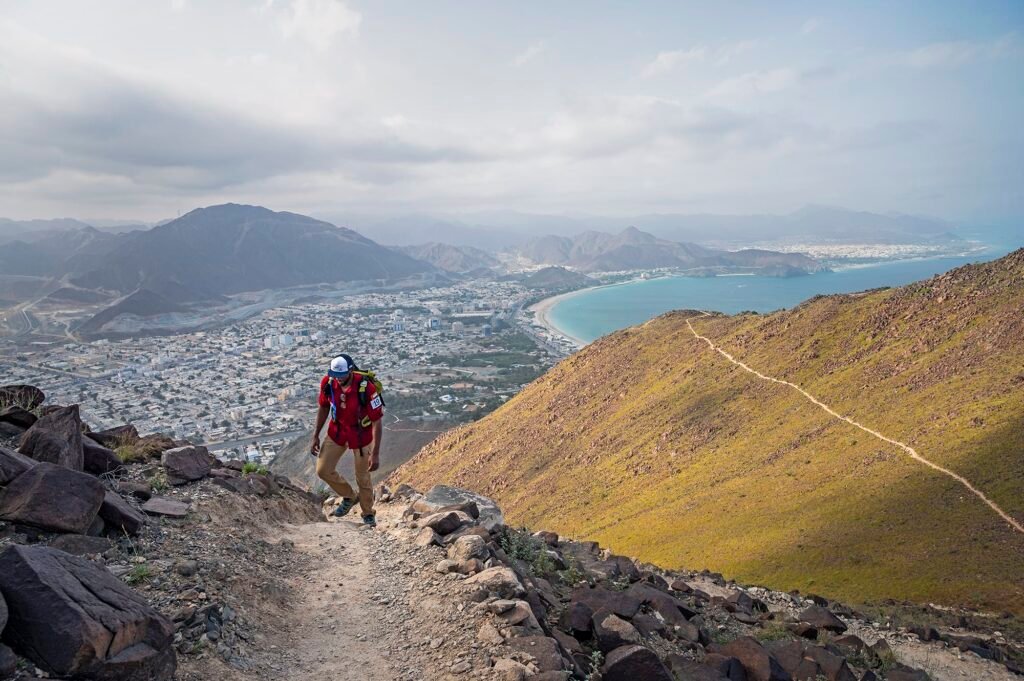
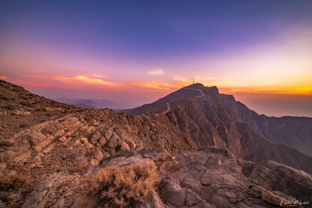
Al Rabi Hiking Trail is in Khorfakkan, in Sharjah, with mountain walking and views towards the Gulf of Oman. Visit Sharjah describes a marked hike associated with the historic Al Rabi Tower. Choose it for an ascent and coastal views, not as a flat promenade or a guarantee of a gentle walk for every participant.
Visit Sharjah describes an approximately 4–5 km route and a two-to-three-hour climb at a measured pace. Use the actual route profile to judge its ascent and return. A mountain’s height above sea level and the elevation gained during a particular walk are different measurements; a published height should not be turned into a climb total.
The tourism authority says parking near the trail’s start is limited and that additional parking lower down can add to the walk. Arriving early can help with planning, but it cannot guarantee a space. Use an authorised parking point and account for the approach on foot as part of the outing, not just the distance on the mountain route.
Visit Sharjah’s checklist includes water, walking shoes or boots, hats, sunscreen, comfortable clothing and snacks. Use that alongside the current route and weather advice. The useful preparation is for the outing you are doing: duration, exposed sections and the group’s needs matter more than a claim that rest breaks make any ascent easy.
Wadi Shawka: Pick the Actual Route
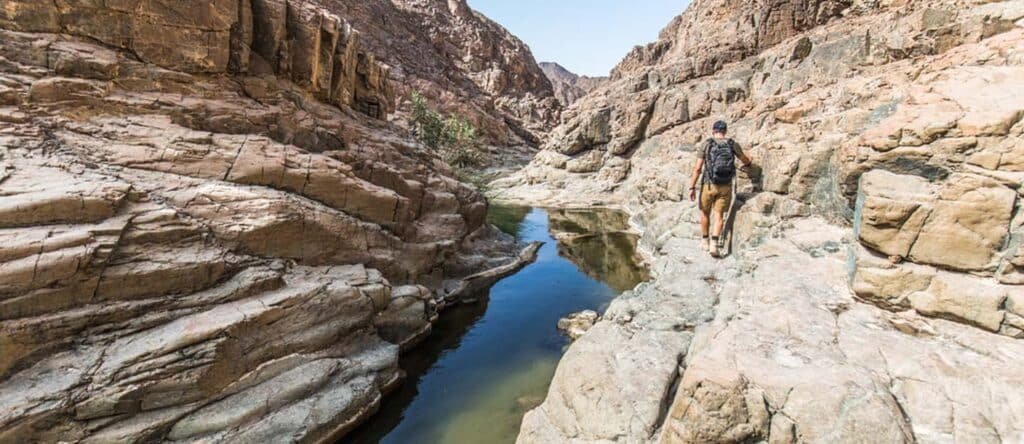
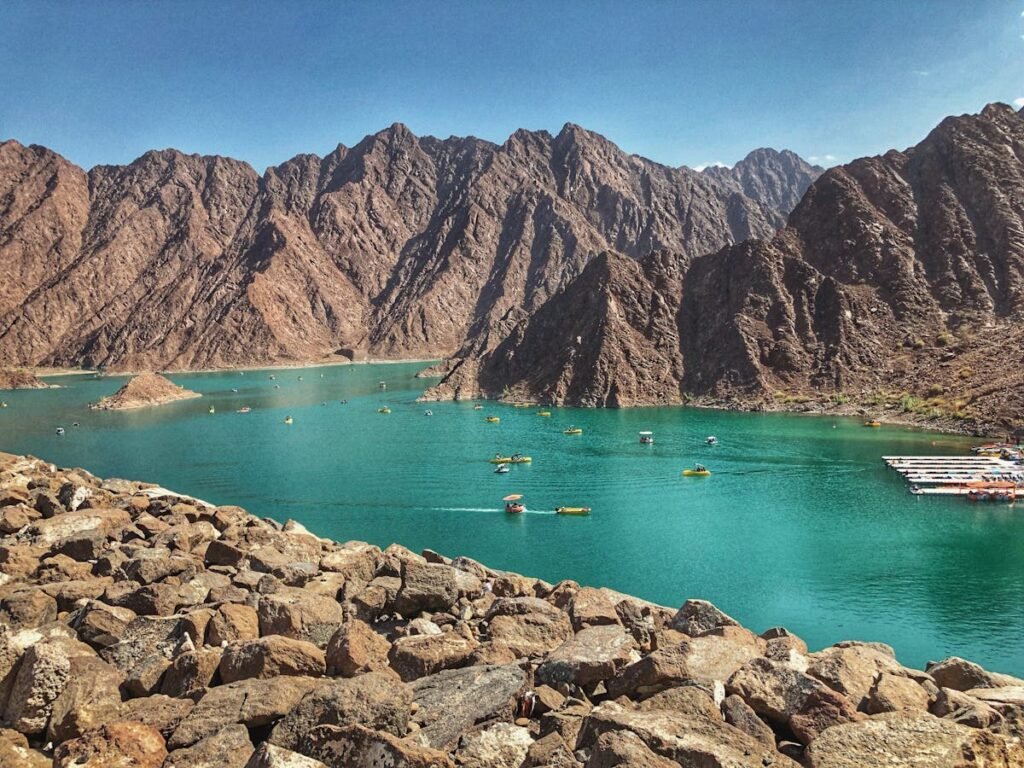
Wadi Shawka includes the dam area, paths and more demanding surrounding mountain routes. Pick a specific walk rather than treat the entire wadi as one easy two-hour circuit. The destination’s outdoor appeal is the combination of the landscape and different activities, but those activities have different terrain, access and preparation requirements.
Use the authorised dam-area access and the facilities actually available when visiting. The tourism authority describes recreation areas around the dam, including barbecue and children’s play areas. That does not establish staffed services along every trail. Keep refreshments, parking and the return route in the plan rather than assume they can be arranged anywhere in the wadi.
Expect the chosen wadi walk to include the surfaces shown on its route information. Steps, loose stones and uneven rock differ from a paved boardwalk. Choose suitable footwear and stay within the group’s capability. A short walk near the dam and a mountain route beyond it should not be sold as the same outing simply because both use the Shawka name.
The dam and surrounding landscape give Shawka its distinctive setting. Our preference for a first-time group is a clearly identified walk with a planned return, rather than add an unverified route to pools after arrival. Seasonal water should not be treated as proof that swimming or crossing is safe; rainfall and official access instructions are part of the decision.
Jebel Jais: Short Routes Versus the Samar Loop
Jebel Jais has named shorter routes and a longer lower-sector loop. The operator lists Farfar at 0.7 km, Al Teen at 1.2 km, Sidir at 1.6 km and Al Asbaq at 2.2 km. Samar is listed as a 5.6–6.8 km loop, with a beginner-to-moderate grade and a much wider time allowance.
The operator describes steep rocky sections and vertical drop-offs on Samar, followed by areas with fewer markers. That makes it a different choice from the short routes in the list. Our recommendation is to choose a shorter named route for a limited-time first outing, and treat Samar as a planned hike with a map and appropriate preparation.
Use the starting point and route instructions for the named trail. The mountain road, a viewpoint and a trailhead are not interchangeable map pins. Photograph or save the route information before leaving the start, and keep an offline map where appropriate. A lower-sector location does not by itself establish the route’s distance, exposure or level of waymarking.
Hatta: Use the Graded Hiking Map
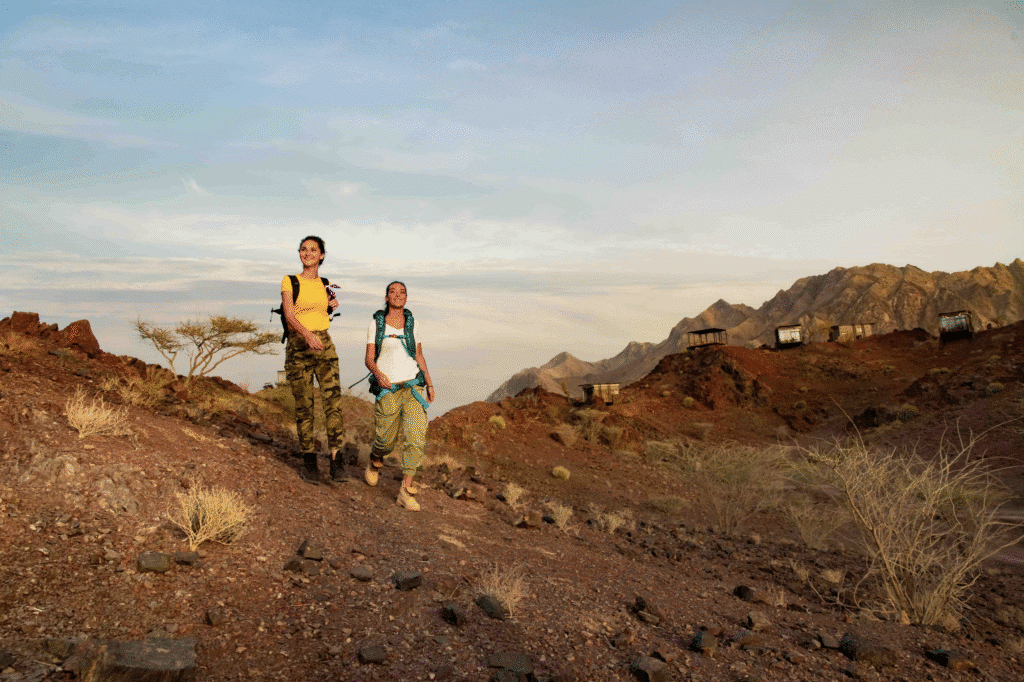
Hatta’s hiking network offers graded choices around its visitor and trail infrastructure. The operator’s published total is 32.6 km across five hiking routes. That is separate from mountain-bike descriptions or a vehicle-access rule. Choose the actual walking route and its grade before organising a day around Hatta Wadi Hub.
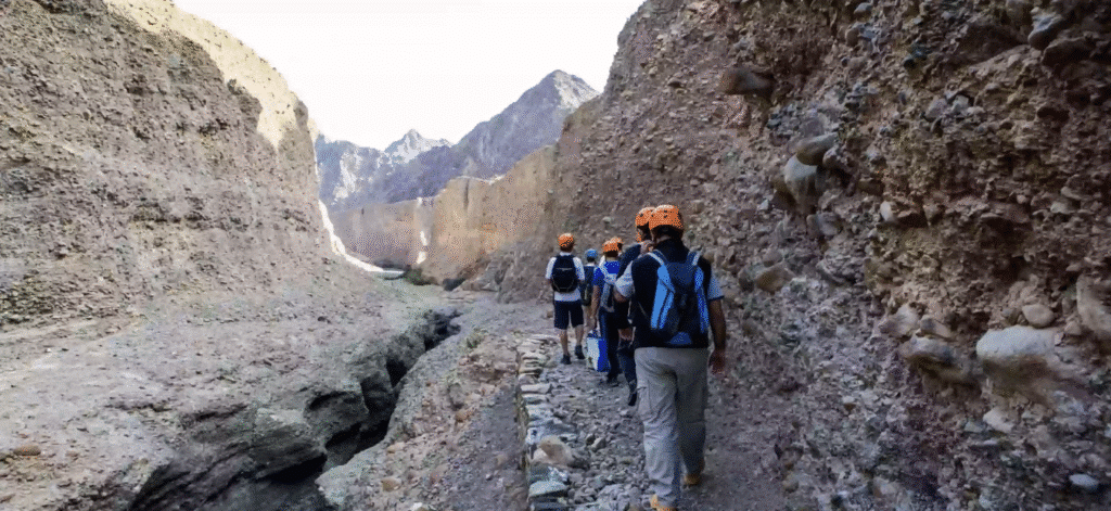
Use the current hiking map and its legend to identify the route, length, grade and return. Hatta’s guidance asks hikers to carry a map, the right equipment and a fully charged phone, and to tell someone where they intend to go. Those practical steps are more useful than a promise that a signposted network removes the possibility of getting lost.
A graded network still contains different surfaces and levels of effort. Choose a route within the group’s ability and follow the posted directions. The words Easy, Difficult or Severe describe the walking challenge in the relevant map legend; they do not decide whether a visitor needs a four-wheel-drive vehicle to reach authorised parking.
Jubail: Boardwalk Products and Visitor Rules
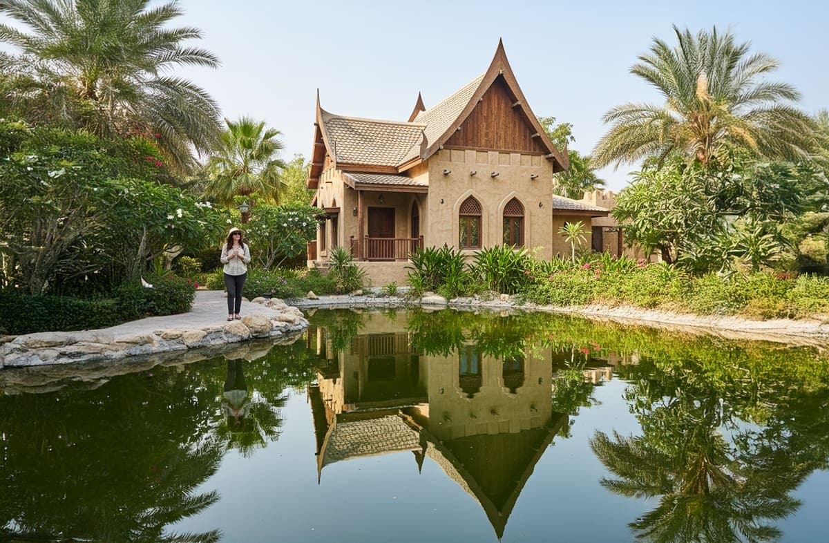
Jubail Island Mangrove Park is the boardwalk-format choice in this list. It offers a different walking setting from a mountain ascent, within a protected mangrove habitat in Abu Dhabi. Choose the visitor product and route before arrival. A boardwalk does not remove outdoor weather, supervision or mobility considerations, so match the plan to the participants.
The designated boardwalks and paths keep visitors within the park’s managed access. The current operator rules require visitors to stay on those routes, supervise children and avoid disturbing or feeding wildlife. We would choose a straightforward boardwalk visit when the nature setting is the priority, and reserve a separate guided activity only if that is part of the intended outing.
The operator’s current Boardwalk Experience page lists a price of AED 20 and describes about two kilometres with three trails and rest stops. General park admission is separately described as free. Choose the actual activity product: a boardwalk, a ranger-led visit and kayaking have different bookings and inclusions.
The current park website publishes daily hours of 8am–6.30pm, with last entry at 5.30pm, and says holiday schedules can vary. Choose the visit for the weather and available entry rather than assume a naturally cooler microclimate or guaranteed shade. Its rules prohibit swimming, entering the water and bringing pets. Observe the current instructions on the managed paths.

Season, Conditions and Preparation
The cooler part of the year is the usual starting point for an outdoor plan; the Jebel Jais operator recommends November–April for Samar. The calendar is only one check. Use the current forecast, warnings, route notices and daylight when deciding whether to go. A winter date does not guarantee a dry wadi or suitable conditions on a mountain path.
Plan water and supplies for the route’s duration, conditions and participants, using the operator’s guidance. Keep the route and return plan with someone outside the group. Where an operator posts restrictions or designated refreshment areas, follow those arrangements. A convenient starting point does not establish that drinking water or a shop is available throughout the walk.
Wear walking footwear appropriate to the actual surface. A boardwalk, stone steps and a rocky mountain route are different underfoot. Hatta asks visitors to use the right equipment and safety gear; Jebel Jais recommends sturdy shoes for its rocky routes. We would settle those requirements before the journey rather than assume ordinary casual shoes suit every place on the list.
Strategic Route Selection for Different Starting Points
Choose according to the actual starting address as well as the route. From Dubai, Hatta and Shawka take different approaches and can have different travel times. Use the authorised parking pin and current route estimate. A broad claim that two destinations are equally close to every business district is not a useful substitute for that journey check.
For an Abu Dhabi departure, Jubail offers a managed mangrove visit without a mountain ascent. It is our first comparison for a group wanting the boardwalk format. Check the actual activity and visitor rules rather than describe the outing as having no physical demands. Time on the route, conditions and the participants still matter.
For an East Coast departure, Al Rabi offers a coastal mountain setting in Khorfakkan. Use the current route and parking approach when calculating the day. Our preference is to choose it because the walking format fits the group, not merely because the drive is shorter. The route’s ascent remains a separate decision from its road access.

Practical Logistics: Parking, Permits, and Associated Costs
Check access, parking, land restrictions and any paid activity separately. A public-looking trailhead is not blanket permission to drive beyond barriers or walk anywhere in a protected area. The operator or current signage should determine the permitted approach. A guided booking, park activity and parking charge are different costs, even when the walk uses the same place name.
Essential Packing List for UAE Easy Access Hiking
Plan water and suitable supplies around the operator’s advice, conditions and route duration. Keep the journey, walk and return organised together. A known route and appropriate equipment are the starting points; the packing list should support an outing the group is prepared to complete. Check what supplies or refreshments are actually available at the destination before setting off.
Prepare for the exposure described on the chosen route, with appropriate clothing, a hat and sun protection. A cooler mountain temperature does not mean the whole trail is shaded. Keep the plan tied to daylight and the current forecast. We would choose a manageable outing in suitable conditions rather than depend on clothing alone to make a hotter or longer walk comfortable.
Save the trail map and authorised start/parking pin before travelling. A clear place name does not identify every path, and signal availability should not be assumed along a route. Hatta specifically asks hikers to carry a map and a charged phone. Keep the intended route and return time with a contact outside the group as well.
Carry the equipment appropriate to the route, including lighting if the plan requires it and suitable basic supplies. Know the operator’s or local emergency arrangements before starting. Keep waste for disposal in the correct facilities. A headlamp and phone are useful preparation, but they are not a reason to begin a route whose length or conditions have not been understood.
Short Walk, Longer Loop or Boardwalk?
A short Jais outing: compare Farfar, listed at 0.7 km, with Al Teen, listed at 1.2 km. Choose one using the operator’s map and grade. They are named routes, not a promise that the two connect into a single easy loop. Allow for the journey and the approach from the authorised start.
A longer Jais loop: Samar is listed at 5.6–6.8 km, with a published time range of 1.5–4 hours and rocky sections. Choose it only as a planned route suited to the group’s preparation. The larger time range matters when setting a turnaround and return, rather than treating it as a short extra walk.
A managed boardwalk visit: choose Jubail’s actual boardwalk product and the available visiting time. Its current website lists 8am–6.30pm hours and last entry at 5.30pm. Read the activity and park conditions for the participants, then organise the journey around that visit instead of add an unbooked water activity.
Responsible Hiking Practices for UAE Trail Preservation
Observe closed routes, barriers and current access instructions, particularly around wadis after rainfall. We would change the day’s plan rather than continue because an older guide described the walk as open. Use the current weather warnings and local directions alongside the route map. The permitted path is the one made available for the visit, not any visible track.
Leave wildlife undisturbed and follow the specific destination’s animal and pet rules. Jubail currently prohibits pets, feeding wildlife and entering the water. Other locations have their own restrictions. A general claim that a leashed dog is permitted on every route would be misleading. Choose the visit for the actual rules, including any protected-area requirements.
Stay on the permitted route and avoid shortcuts into protected vegetation or unfamiliar terrain. Hatta asks hikers to follow official signage and warnings, while Jubail requires designated paths and boardwalks. The practical principle is straightforward: use the route prepared for visitors and leave the surrounding environment undisturbed, rather than treat a map pin as permission for off-trail exploration.
Take rubbish away and dispose of it in the proper facilities, including food packaging and leftovers. Do not feed wildlife or leave waste because it appears biodegradable. Follow the operator’s conservation rules and current signs. The best outcome is a visit that uses the permitted route and leaves the habitat and facilities ready for the next group.
Frequently Asked Questions (FAQs)
A hiking grade does not specify a vehicle requirement. Choose the authorised visitor approach and current road-access instructions. Do not drive footpaths or pass barriers. Hatta’s Difficult or Severe walking grades should not be used as a rule that a visitor needs a 4×4.
The cooler months are the usual hiking period; Jebel Jais recommends November–April for Samar. Check the actual forecast, warnings and daylight as well as the calendar. A winter date does not guarantee suitable conditions in a wadi or on an exposed route.
Suitability depends on the specific route and participants. A managed boardwalk, a short named Jais route, Al Rabi’s ascent and Samar’s longer rocky loop are different outings. Choose by the published grade, terrain and preparation rather than apply one beginner-and-family label to all five areas.
Check the chosen access and activity. Jubail describes general park admission as free but lists separately priced boardwalk and guided products. Other visitor activities, parking or guided outings can have different arrangements. Do not assume that one free area makes every experience at that destination free.
Use the actual departure address and authorised parking point to compare journeys. Visit Hatta describes about 90 minutes from Dubai, but travel time varies by start and conditions. The closest destination is not automatically the easiest walking route; choose the route and journey together.